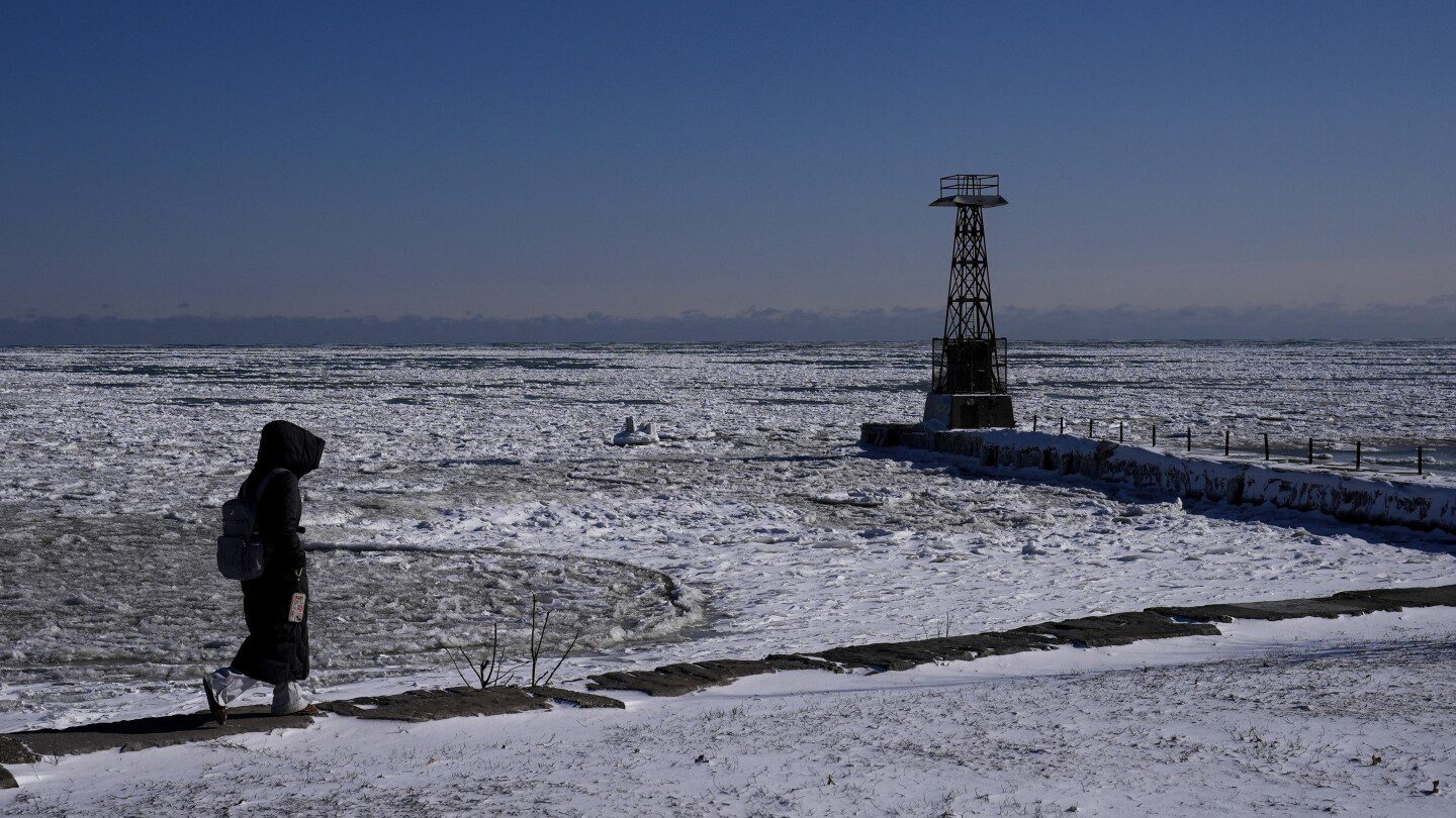

Experts caution that a significant surge of Arctic air is set to sweep across the U.S., marking a striking conclusion to this winter’s series of polar vortex events. This frigid weather is expected to remain for an entire week.
Several Arctic weather systems are converging, allowing these cold temperatures, typically confined to the North Pole, to push not only into the United States but also into Europe, as reported by various meteorologists to The Associated Press.
This marks the tenth occurrence of polar vortex activity this winter—an event characterized by the stretching of the Arctic’s chilled air, according to Judah Cohen, director of seasonal forecasting at Atmospheric and Environmental Research. Under normal circumstances, such phenomena typically occur only two or three times during a winter.
This winter has been anything but typical, featuring exceptional snowfall in New Orleans, alongside drought conditions and destructive wildfires ravaging Southern California.
The imminent cold wave is expected to first reach the northern Rockies and Northern Plains this Saturday and will linger throughout the week. Meteorologists indicate that the cold will likely be most severe to the east of the Rockies, with only parts of the far western U.S. and central or southern Florida escaping the chill.
By Tuesday, the average low across the contiguous states is predicted to drop to 16.6 degrees Fahrenheit (minus 8.6 degrees Celsius), plunging further to 14 degrees Fahrenheit (minus 10 degrees Celsius) on Wednesday, as calculated by private meteorologist Ryan Maue, a former chief scientist at the National Oceanic and Atmospheric Administration (NOAA).
Next week, approximately 89% of the continental U.S. will be experiencing temperatures below the freezing point, with about 27% of the Lower 48 anticipated to see lows below zero (minus 18 degrees Celsius), according to forecasts from the National Weather Service.
Meteorologists predict that strong winds may exacerbate the cold, with all states except Hawaii, California, and Florida facing the likelihood of wind chills dropping to 20 degrees Fahrenheit or lower at some point during the week, as reported by the National Weather Service.
Regions such as Kansas, Nebraska, Missouri, and Iowa are projected to experience particularly notable cold, with temperature drops potentially reaching 35 degrees (19 degrees Celsius) below the norm for this time of year, according to Zack Taylor from the Weather Prediction Center. NOAA weather models indicate that lows may fall below zero on Wednesday across a wide swath of states, including Oklahoma, Colorado, Nebraska, Missouri, Illinois, Iowa, Kansas, Wyoming, Montana, North Dakota, South Dakota, Minnesota, Wisconsin, and Michigan.
Potential storms—bringing heavy snow, flooding, or even a nor’easter—could emerge during this cold spell next week, although specifics on those systems remain to be confirmed, Taylor noted.
“Everything is aligning. The wind currents in the atmosphere are dragging the cold Arctic air from Canada,” Maue stated. “This is the height of winter. We are seeing an extreme cold event. Although this isn’t the first instance of the polar vortex this winter, it is likely to be the most intense.”
This polar vortex stretching event occurs differently lower in the atmosphere compared to the more severe instances seen when the polar vortex weakens suddenly, allowing the cold air to escape from the poles entirely, explained Cohen. Typically, stretching events result in slightly milder conditions and predominantly affect the U.S. rather than Europe.
Meteorologists plan to investigate the frequent stretching patterns seen this year, although it could just be a product of natural variability, as pointed out by Laura Ciasto from NOAA’s Climate Prediction Center, who specializes in the polar vortex.
“What we’re experiencing right now is certainly intriguing, but it is not without precedent,” added Martin Stendel, a scientist with the National Center for Climate Research in Denmark.
Another factor contributing to the polar vortex stretching dynamics is a significant area of high pressure forming in the upper atmosphere over Greenland. This weather pattern is moving westward, pushing the jet stream—a critical air current that steers weather systems—into a configuration that facilitates the prolonged stay of polar air, Cohen clarified.
There is speculation that climate change driven by human activities may contribute to a more meandering jet stream, which could lead to its tendency to remain locked in a waved pattern, according to Stendel. Meteorologists find it challenging to predict precisely how this unusual winter will evolve and when the extreme cold will finally subside.
Despite the unusually cold temperatures experienced in the U.S., global climate trends still indicate an overarching pattern of warming. In January, Earth’s average temperature set yet another record high. This marked the 18th time in the past 19 months that the globe has either reached or exceeded the internationally recognized warming limit of 1.5 degrees Celsius (2.7 degrees Fahrenheit) above pre-industrial levels.
___
Data journalist Mary Katherine Wildeman contributed to this piece.
___
Follow Seth Borenstein on X at @borenbears
___
For more of AP’s extensive climate coverage, visit http://www.apnews.com/climate-and-environment
___
The Associated Press’ climate and environmental reporting receives support from several private foundations. AP retains complete editorial control over all content. View AP’s standards for collaboration with philanthropic entities, along with a list of sponsors and funded coverage domains at AP.org.