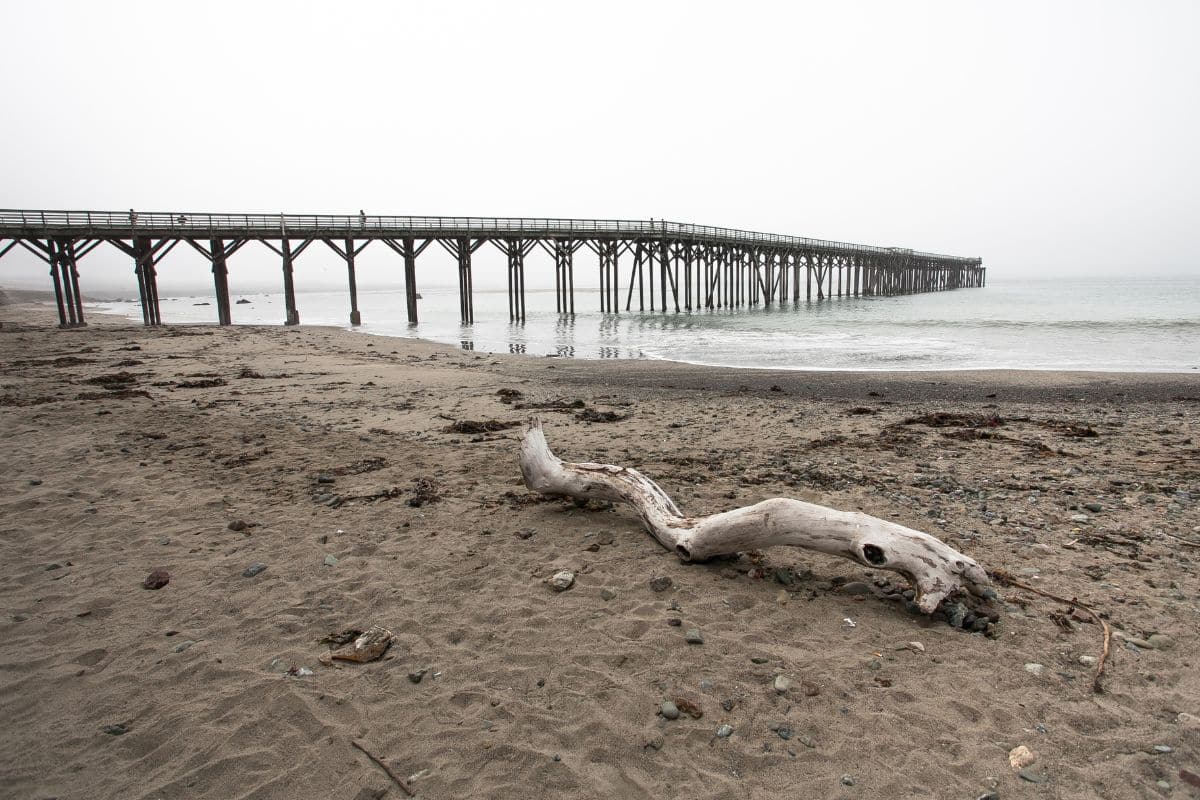

California’s coastal communities are increasingly vulnerable to the impacts of rising sea levels, but a recent study indicates that existing forecasts may be significantly underestimated. Researchers from NASA’s Jet Propulsion Laboratory (JPL) have discovered that land subsidence is contributing more to the issue than previously thought.
Their research shows that several areas along the California coastline are sinking at a much quicker pace than anticipated, suggesting that sea levels could rise far higher in certain regions than current models predict.
New Satellite Insights Uncover Surprising Land Movements
Utilizing satellite radar data from the European Space Agency’s Sentinel-1 satellites alongside ground sensors, the JPL team examined over 1,000 miles of California’s coastline. Their findings, detailed in a study published in Science Advances, compared recent satellite observations (captured from 2015 to 2023) with historical data.
Notably, the San Francisco Bay Area is experiencing subsidence at more than 0.4 inches (10 mm) annually, largely due to the compaction of sediments. This process, which occurs as loose soil gradually compresses, significantly affects land stability throughout the region.
The study also warns that low-lying areas, including San Rafael, Corte Madera, Foster City, and Bay Farm Island, could see local sea levels increase by more than 17 inches (45 cm) by 2050.
Human Impact Complicates Projections
Groundwater extraction has long been recognized as a cause of land subsidence, as the removal of water from underground reservoirs causes the surface above to sink. Likewise, hydrocarbon extraction, encompassing oil and gas drilling, further contributes to this phenomenon.
In areas such as Los Angeles County and San Diego County, researchers identified that these human activities could amplify uncertainties in sea level projections by as much as 15 inches (40 cm), complicating efforts to develop reliable models for future coastal flood risks.
Conversely, some regions in California are experiencing an upward movement of land. Notably, the groundwater basin in Santa Barbara and Long Beach is rising by several millimeters each year.
NASA’s Initiatives: Enhanced Monitoring for Improved Predictions
Acknowledging the need for comprehensive land monitoring, NASA JPL is initiating the OPERA project (Observational Products for End-Users from Remote Sensing Analysis). This initiative will complement the work of NISAR (NASA-ISRO Synthetic Aperture Radar), a collaborative mission with India’s space agency, ISRO.
These projects aim to deliver high-resolution elevation data throughout North America, enhancing scientists’ abilities to monitor subsidence, uplift, and other surface dynamics in real time.
With such improved data, urban planners and policymakers will be better equipped to create infrastructure that considers the evolving conditions of the land.
A Call to Action for California’s Coastal Cities
The urgency of these findings cannot be understated. California’s coastal areas are already investing in climate resilience measures, yet outdated sea-level forecasts could render those efforts inadequate against the reality of impending risks.
As subsidence accelerates in critical urban zones, local authorities may need to revise flood maps, construction regulations, and emergency response strategies to adapt to a coastline that faces not only the threat of rising seas but also the challenge of sinking land beneath it.