
Weather Alert: Upcoming Storm and Flood Warnings in Southern California
- Light rain is anticipated on Wednesday.
- The most intense rainfall is projected for Thursday.
- A flood watch for burn areas in Los Angeles and Ventura counties will commence Thursday afternoon.
As a significant storm approaches Southern California, officials are taking proactive measures to prevent potential debris flows in areas affected by recent wildfires.
Authorities have mobilized crews to clear 154 basins designed to intercept mud, rocks, and other debris, ensuring these areas remain protected from flooding. Additionally, they have deployed thousands of sandbags, K-rails, and compost filter socks to safeguard storm drains from clogging.
L.A. County Public Works Director Mark Pestrella highlighted ongoing collaboration with federal agencies to create a debris containment system, which aims to redirect potential runoff away from streets and into safer channels. Notifications have also been sent to residents near burn areas, informing them of possible landslides, with evacuation orders potentially on the table.
While previous storms brought only light precipitation last week, enough rain fell to fill the basin at the Eaton wash dam, prompting crews to remove 150,000 cubic yards of mud and debris to prepare for the incoming storm. Pestrella assured that sufficient capacity has been maintained in debris basins to accommodate the anticipated rainfall.
The National Weather Service indicated that the initial phase of this powerful winter storm began impacting Southern California on Wednesday, with heavier rains expected as it intensifies on Thursday. “The event has started,” they noted, as moisture starts to accumulate ahead of the main storm system.
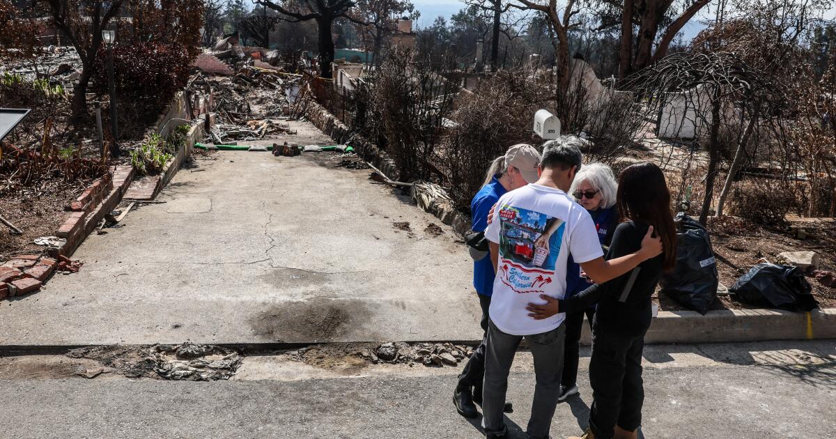
County officials are directing focus towards areas that have recently experienced wildfires, which leave them vulnerable to flooding and debris flows. The weather service has issued alerts regarding high risks of flooding, debris flow, and damaging winds.
The storm’s effects will extend across California, with rain projected to reach from the Bay Area to San Diego throughout the week.
Thursday is anticipated to be particularly critical, with rainfall breaking out widely in Southern California. The period of greatest risk for debris flows and roadway flooding in Los Angeles and Ventura counties will be from midday Thursday to 6 a.m. Friday, while Santa Barbara and San Luis Obispo counties face risks from 6 a.m. Thursday until midnight Friday.
In response to prior critiques about preparedness during previous fire seasons, officials have emphasized their commitment to enhancing flood risk management for affected areas.
For Southern California, meteorologists warn of possible mudflows from burn scars, which can critically affect travel and infrastructure. These mudflows may overwhelm roads and pose threats to structures, particularly in those freshly scorched regions like the Pacific Palisades, Malibu, and areas impacted by the Eaton and Bridge fires.
The storm is expected to deliver significant rainfall over the next few days, with forecasts estimating up to 4.95 inches in some locations. Recent burn scars will likely experience the highest totals, whereas urban areas like Downtown Los Angeles could see over 2 inches of rain.
After the storm dissipates, weather predictions indicate a shift to warmer and drier conditions, with no significant rain expected for the remainder of February. Residents are encouraged to stay informed through official channels and consider signing up for local emergency alerts to prepare effectively for the approaching weather.
Stay safe and vigilant as Southern California braces for these upcoming weather challenges.