
Syracuse, N.Y. — This weekend, Upstate New York is bracing for a significant winter storm that could unleash a hazardous mix of snow, freezing rain, and ice, lasting through Sunday night.
But this is only the start: The storm’s impacts are expected to persist into early next week, with strong winds, severe wind chills, and the risk of heavy lake effect snow through Tuesday. Road conditions may become perilous, and the combination of ice and gusty winds could lead to intermittent power outages.
“An impactful storm system is moving from the southern plains to directly over us by early Sunday morning,” stated the National Weather Service officially.

This map illustrates the anticipated ice accumulation over the weekend, beginning late Saturday and continuing into Sunday afternoon.National Weather Service
The National Weather Service has issued multiple weather warnings, including a winter storm warning for the North Country and Adirondacks, as well as a high wind watch spanning from the Finger Lakes to the Vermont border.
Weather impacts commence today, with light to moderate snowfall expected across Upstate starting this morning. Overnight, temperatures may rise, leading to a mix of sleet and ice. Bitter cold and strong winds will kick in Sunday night.
Here’s what to anticipate:
Snow: Light snow is forecasted to begin in Western New York this morning, intensifying as it moves eastward. Several inches are predicted for Western New York, while Central New York may receive between 4 to 6 inches today. Tug Hill could experience even higher amounts due to west winds generating lake effect snow from Lake Ontario.

This map indicates the expected start time of snowfall today in Upstate New York.National Weather Service
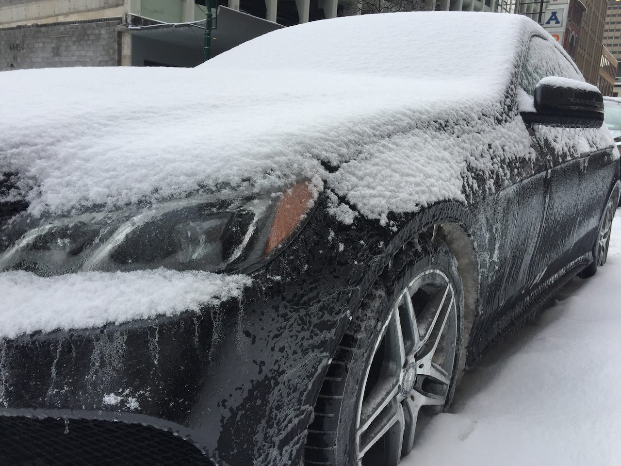
Freezing Rain/Ice: As temperatures rise today and into Sunday morning, snowfall is expected to transition to freezing rain, and potentially rain in certain regions.
This could lead to ice accumulation on roadways, walkways, and tree branches. A quarter-inch or more of ice is likely from Madison County through the Southern Tier and Catskills. Syracuse may witness slightly less ice, but conditions will still be perilously slippery.
The weather service has indicated that sporadic power outages may occur due to the weight of ice on trees and power lines.
In Central New York, the freezing rain is anticipated to transition to plain rain by late Sunday morning.

These two maps show the expected types of precipitation Saturday night and Sunday. At 7 p.m. Saturday, ice and sleet are predicted to replace snow (blue), transitioning to all freezing rain or rain (green) by Sunday morning.National Weather Service
Frigid Temperatures/Winds: As the storm system departs on Sunday, it will usher in some of the coldest air observed thus far this winter. Temperatures are projected to drop from the high 30s in the afternoon to the teens by early Monday. Simultaneously, winds will pick up, with gusts reaching 50 mph starting late Sunday.
Monday won’t see temperatures above 20 degrees, and strong wind gusts will continue to sweep across Upstate. Wind chill factors may plummet below zero on Monday and Tuesday mornings, remaining in the single digits throughout the day.

Wind chill temperatures are expected to drop below zero across a large portion of Upstate New York by Tuesday morning.National Weather Service
Lake Effect Snow: The combination of strong winds and cold temperatures moving over the Great Lakes is likely to trigger another episode of significant lake effect snow, particularly along and north of the Thruway.
The National Weather Service has cautioned that “significant lake effect snow is anticipated again from Sunday night to Tuesday night across the I-90 corridor and areas to the north.”