
Northern Australia is preparing for a devastating Category 5 tropical cyclone, predicted to deliver “extremely destructive winds” and “heavy rainfall” along its coastline starting Friday. Meteorologists have issued warnings of wind gusts reaching up to 180 miles per hour.
As of Thursday, the slowly advancing Cyclone Zelia was situated 90 miles north of Port Hedland and is anticipated to impact the Pilbara Coast as early as Friday morning, with wind speeds that could reach 130 miles per hour, according to Australia’s Bureau of Meteorology.
“Severe Tropical Cyclone Zelia is rapidly escalating, exhibiting intense convection surrounding a warm eye,” a recent weather bulletin noted, also indicating that the cyclone is generating heavy rainfall in its eastern rainbands.
In response to the cyclone threat, more than a dozen schools in northern Western Australia have been closed, with coastal authorities urging residents to seek shelter. The cyclone was elevated to the highest level, Category 5, on Thursday afternoon, producing winds of up to 115 miles per hour.
“Significant rainfall is anticipated on the coast over the next few days,” the BOM advisory explained, cautioning that rainfall intensity would peak “near and to the east of the cyclone’s center as it approaches the shore.”
The advisory further highlighted that wind gusts of up to 180 miles per hour were expected near the cyclone’s center as it approaches land. This storm is projected to cause extreme rainfall that may trigger flash flooding on Friday in coastal and inland areas between Wallal Downs and Karratha.
“The approaching cyclone poses a serious risk to lives and properties,” warned Western Australia’s Department of Fire and Emergency Services (DFES), which has issued a “Cyclone Watch and Act” alert directing residents in parts of the Pilbara Coast, including Karratha and areas inland like Marble Bar, to find shelter.
DFES has also opened two evacuation centers for those seeking refuge.
These advisories have led to several highway closures in the region, with DFES cautioning that some roads may become impassable, as water has already accumulated on various routes. Coastal residents have been alerted to “dangerous storm surges” and flooding risks in low-lying areas.
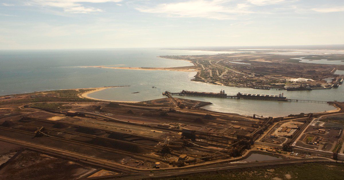
Additionally, the ports of Dampier and Varanus Island, vital for commodity exports, were closed on Thursday, as reported by their operators.
Cyclone Zelia, which is currently drifting at a sluggish speed of under 3 miles per hour, is forecasted to move southward toward landfall due to a weakening westward anticyclone by Friday, officials from BOM stated.
The most intense part of the cyclone is expected to impact coastal regions between De Grey and Karratha late Friday evening.
However, landfall could be postponed until Saturday due to “weak ridge influences south of the cyclone, which may push it further west before hitting land,” the bulletin concluded.