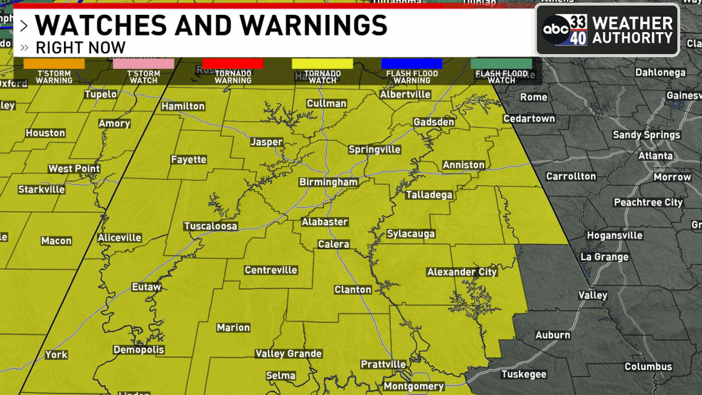

BIRMINGHAM, Ala. — The National Weather Service Storm Prediction Center has announced a tornado watch covering a significant portion of Alabama, the western Florida Panhandle, southeastern Louisiana, central and southern Mississippi, southern middle Tennessee, and surrounding coastal waters. This alert will be in effect from 9:10 p.m. on Saturday until 4 a.m. CST on Sunday.
The main hazards include the possibility of several tornadoes, including a few that could be particularly powerful. Damaging wind gusts reaching up to 70 mph are anticipated, alongside isolated incidents of large hail, potentially measuring up to 1.5 inches in diameter.
ABC 33/40 Chief Meteorologist James Spann highlighted the risk of strong winds that could cause damage as a line of storms approaches Alabama. “Given the saturated ground conditions and the likelihood of damaging winds, it’s wise to prepare for severe weather alerts such as tornado warnings tonight, particularly due to the increased risk of fallen trees,” he stated.
The line of thunderstorms is expected to reach the northwest corner of Alabama around 10 p.m. and traverse the state rapidly overnight. Spann indicated that the primary concern continues to be strong, potentially destructive straight-line winds, with the chance of isolated tornadoes, especially in the southwestern region of Alabama.
“Wind gusts ahead of this storm system could reach 30-40 mph in certain areas; thus, a wind advisory is currently issued,” Spann added. “The system will move swiftly, with rain accumulation generally expected to be one inch or less, and significant flooding is unlikely.”
Much of Alabama is categorized under an “enhanced risk” (level 3 out of 5) due to the wind threat. Residents are strongly encouraged to ensure they have a dependable method for receiving severe weather alerts throughout the night.